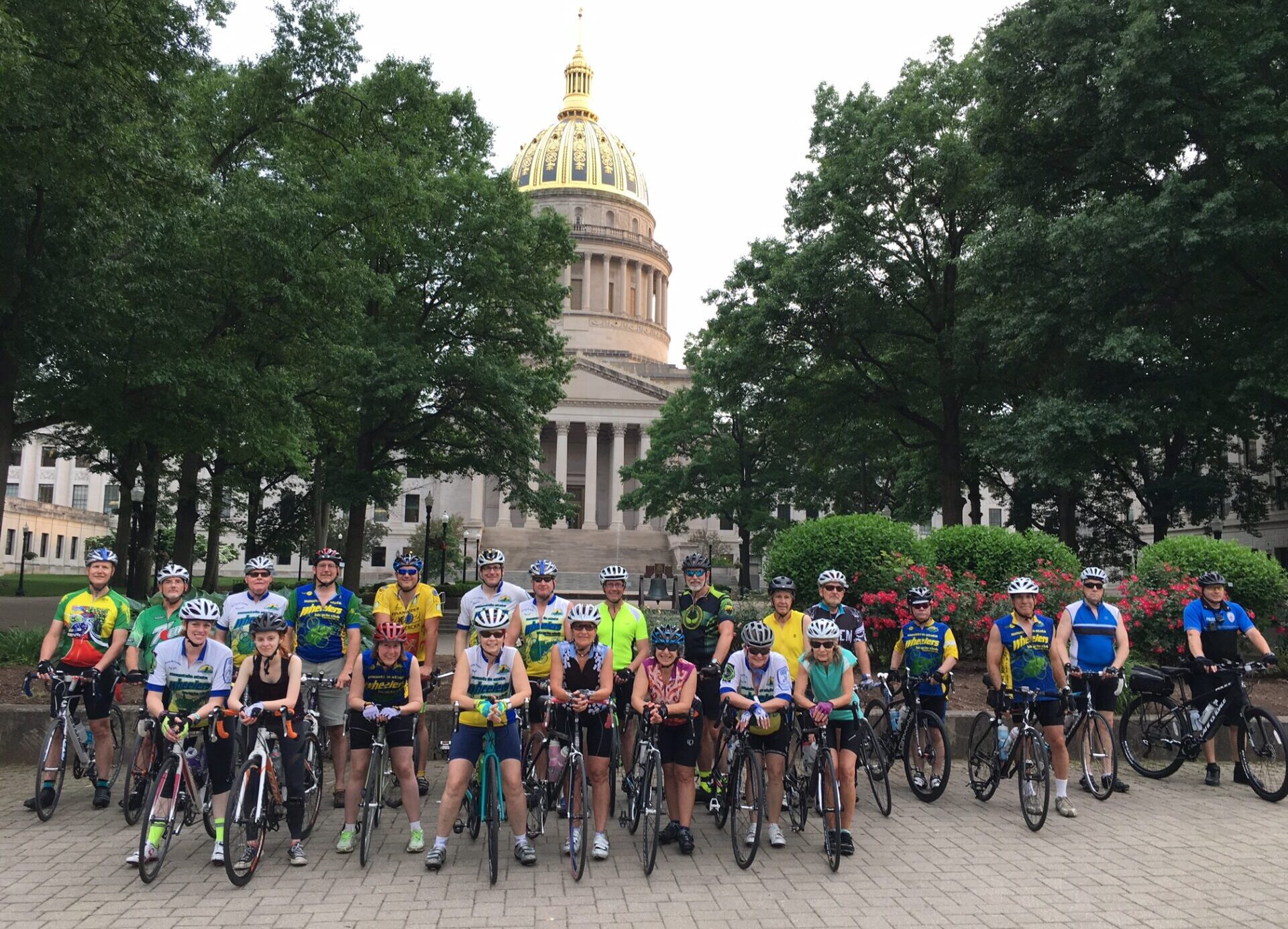
These routes were created by several Wheelers members, so make sure to thank them when you use them! Remember that you it isn’t necessary to have a Ride With GPS account to use these routes, they all contain a downloadable .pdf cuesheet in addition to being able to run on a Garmin or similar device. And, as always, we can’t guarantee the accuracy or safety of these routes and they are ridden at your own risk.
Kanawha County Northern routes
Bickmore from Queen Shoals, 48 miles: https://ridewithgps.com/routes/27709380
Elkview to Kenna 60 miles: https://ridewithgps.com/routes/27646780
Little Left Hand from Elkview 46 miles: https://ridewithgps.com/routes/14242318
Little Left Hand from Elkview 54 miles: https://ridewithgps.com/routes/22841550
Kanawha County Southern routes
Brounland 44 miles from Alum Creek Elementary: https://ridewithgps.com/routes/29987259
St. Albans/Greenview Loop 27 miles: https://ridewithgps.com/routes/32037037
St. Albans/Hamlin/Rt 34/Ryders Creek 51 miles: https://ridewithgps.com/routes/22508921
Mud River starting at Garrett’s Bend 40 miles: https://ridewithgps.com/routes/24689597
Mud River starting at Garrett’s Bend 60 miles: https://ridewithgps.com/routes/24689470
Twins Ride from Alum Creek 40 miles: https://ridewithgps.com/routes/33540014
Wally Rose Memorial Ride from Alum Creek 44 miles: https://ridewithgps.com/routes/21040969
Western routes- Putnam County & Milton
Bridge to Ridge 38 miles from Winfield: https://ridewithgps.com/routes/20187257
Bridge to Ridge 60 miles from Winfield: https://ridewithgps.com/routes/20187198
Milton to Hamlin almost flat 35 miles: https://ridewithgps.com/routes/31324536
Milton loop to Barkers Ridge 48 miles: https://ridewithgps.com/routes/13609339
Milton South 63 miles: https://ridewithgps.com/routes/22982362
Miscellaneous Rides
Guthrie/Limeston from the University of Charleston: https://ridewithgps.com/routes/33688528
Fairplain 65 miles from Jackson County DHHR parking lot: https://ridewithgps.com/routes/30630188
More to come as information comes in.
